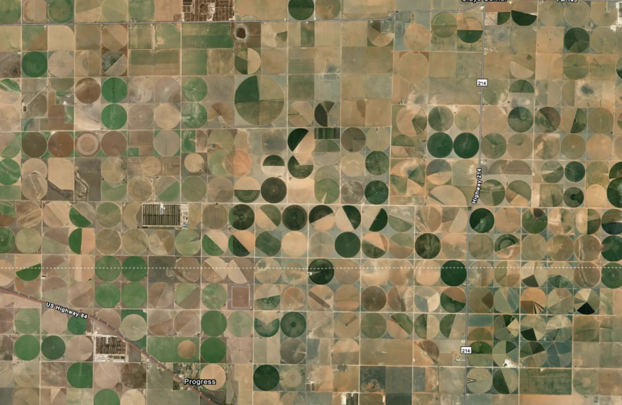
SEARCH MATCHCenter pivot farms0.94 relevance
TerraByte use cases
Search the planet for a visual pattern or follow an event already unfolding. TerraByte turns Earth observation into evidence teams can use — in the portal, or in your own product through the API (free to start).
Planetary context online
One planetary interface
Turn a broad agricultural question into a ranked set of places. Inspect field geometry, irrigation patterns, and changing land use without drawing a search box first.
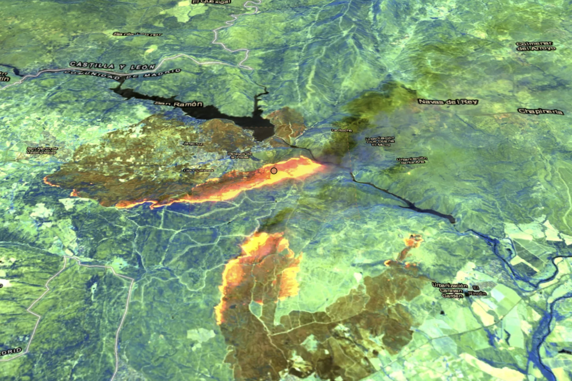
Move from a reported event to recent satellite evidence and its surrounding terrain. See the place, inspect observational limits, and understand how the event is changing.
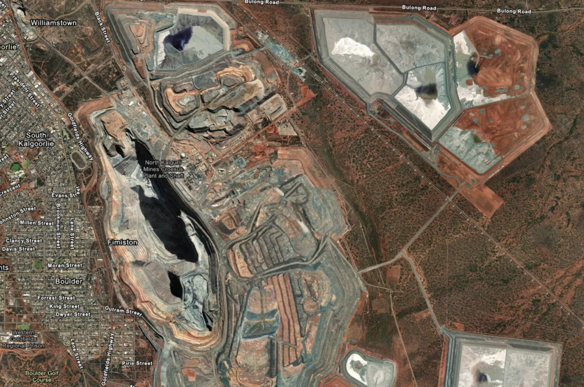
Search for the visual signature of extraction sites across large regions, then focus analysis on the places where exposed ground and terraced pits are most apparent.
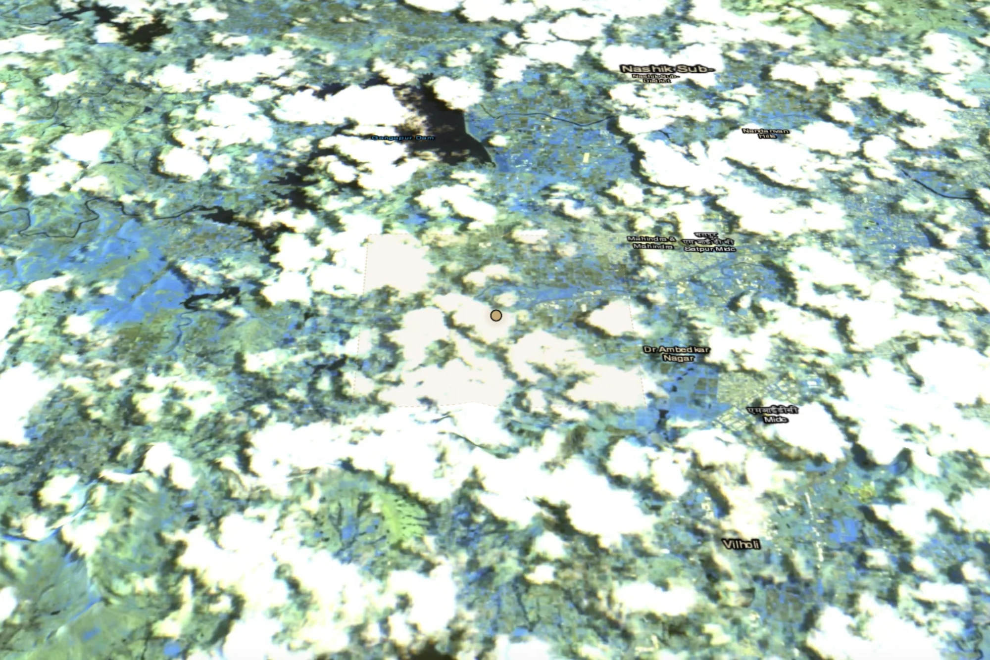
Ground an event in its surrounding waterways, settlements, and available observations. Move from notification to spatial context in one visual workflow.