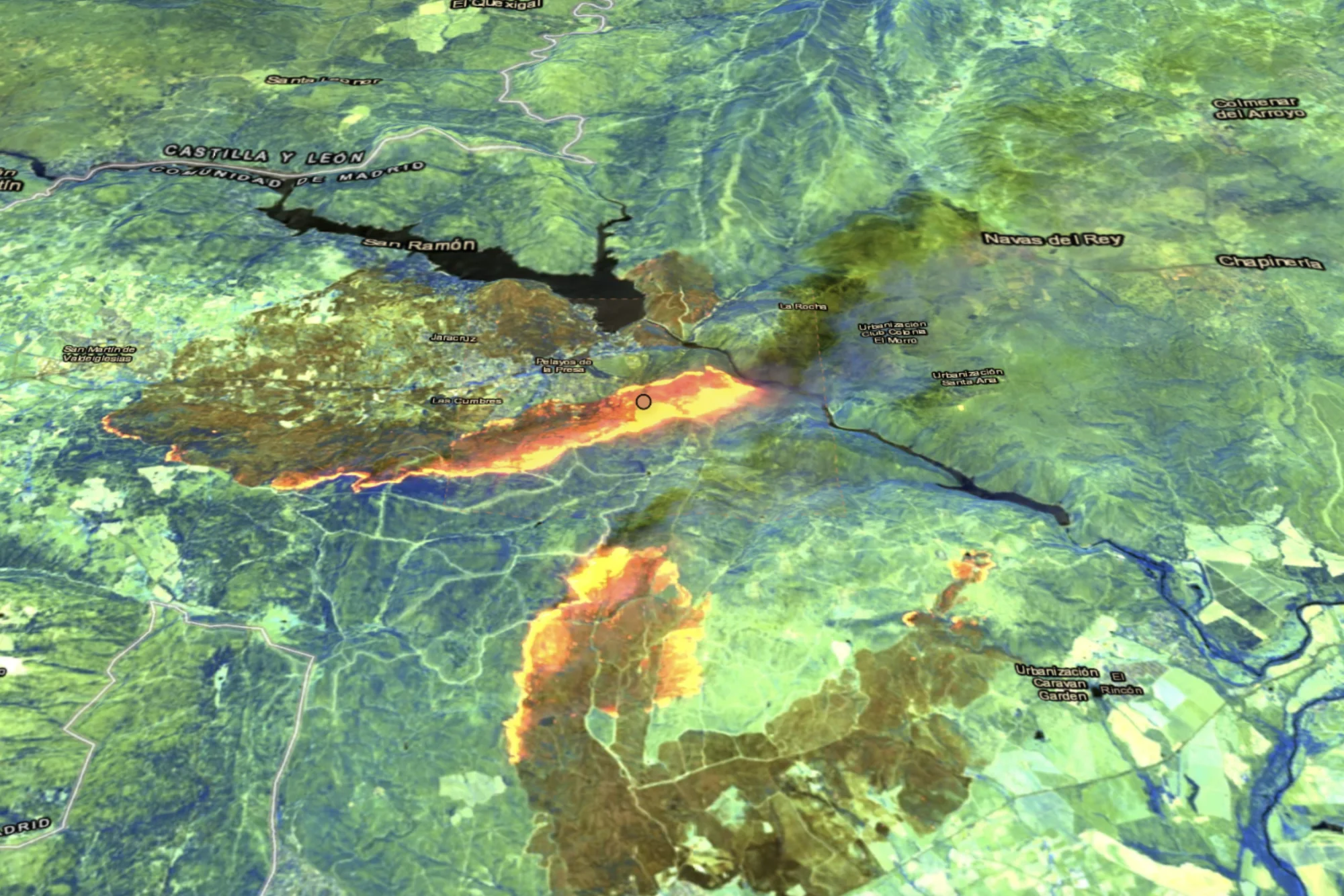
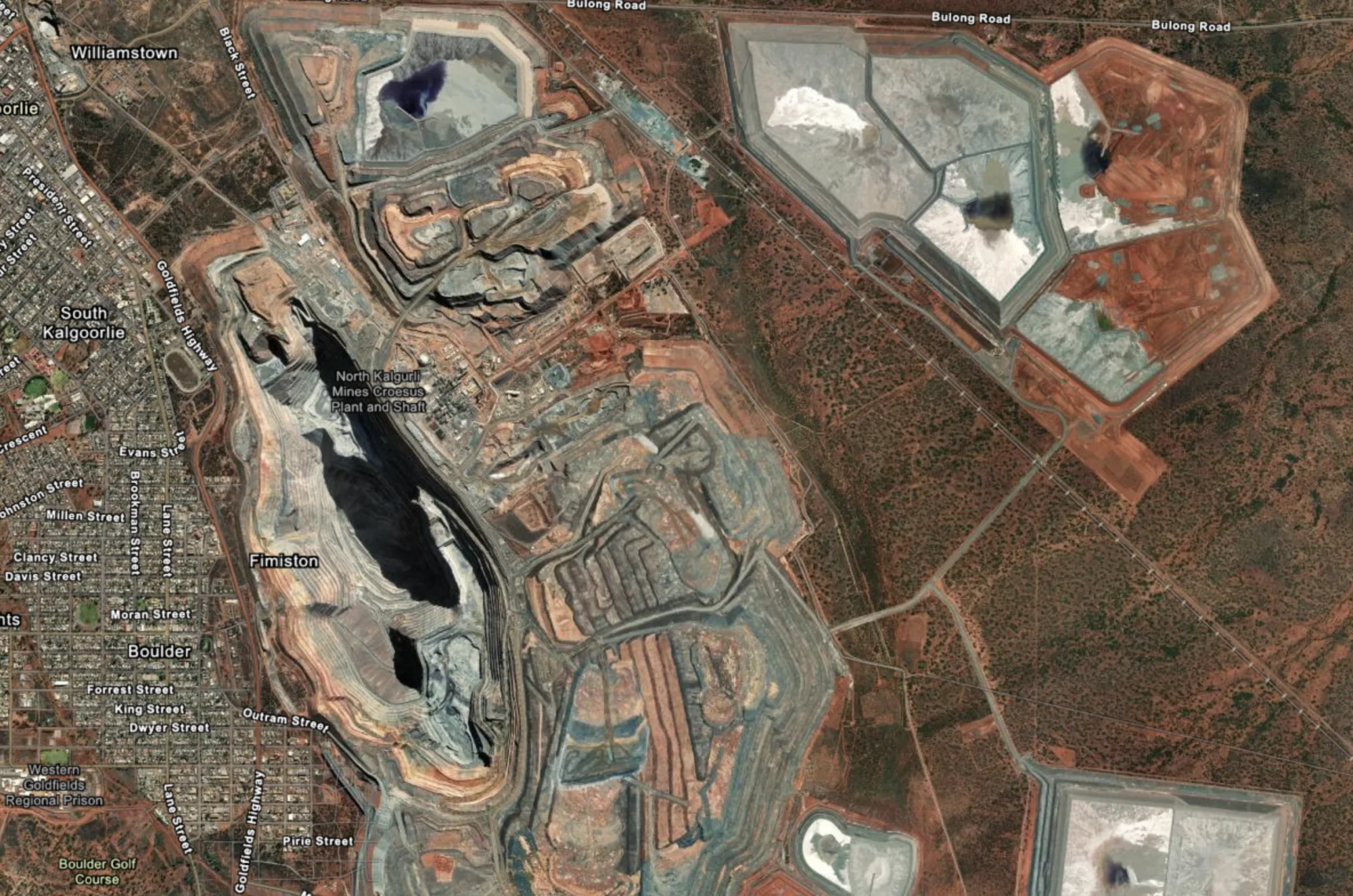
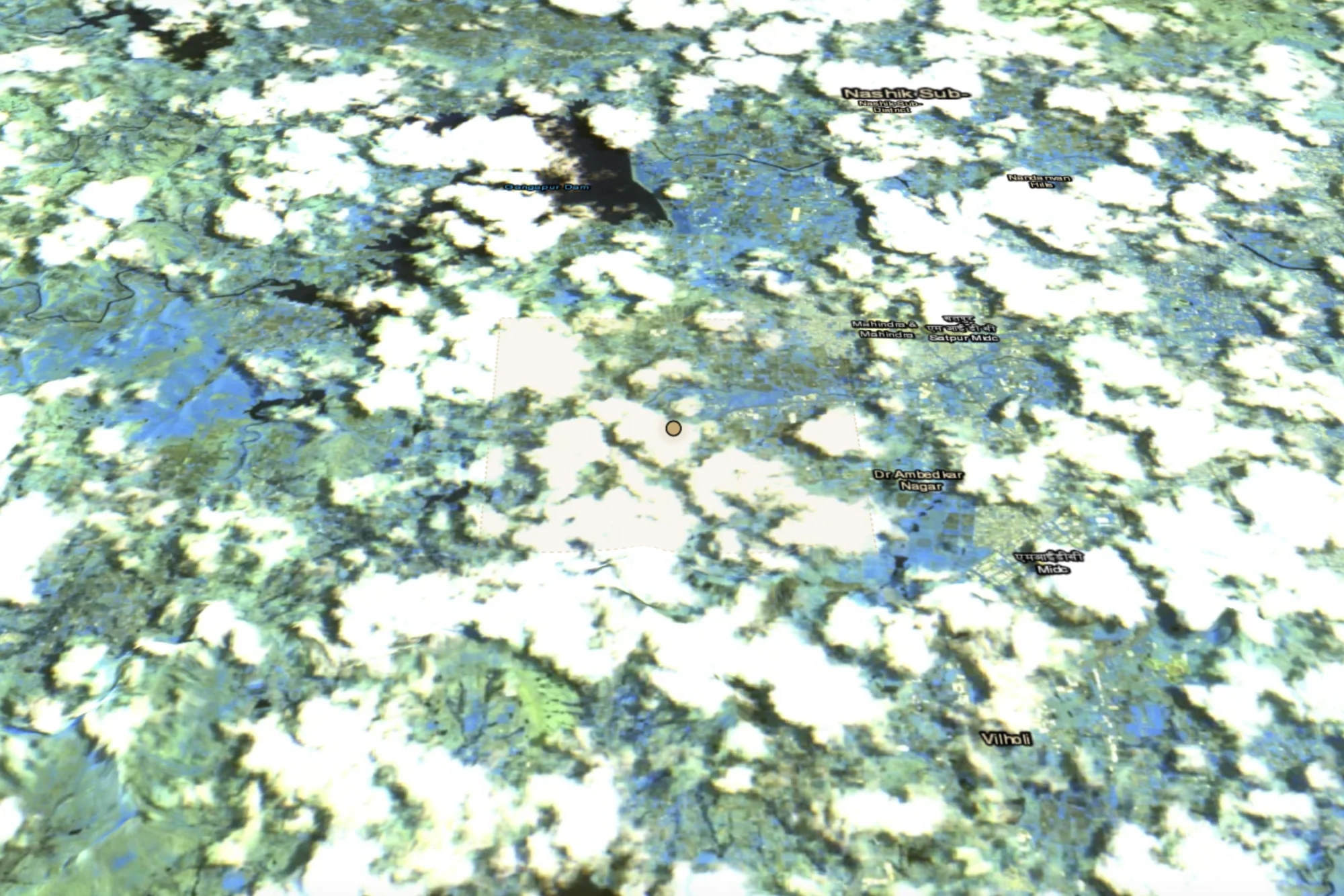
01 / Agriculture
Find crop patterns across wide regions.
Move from a broad agricultural question to a focused set of places worth examining.
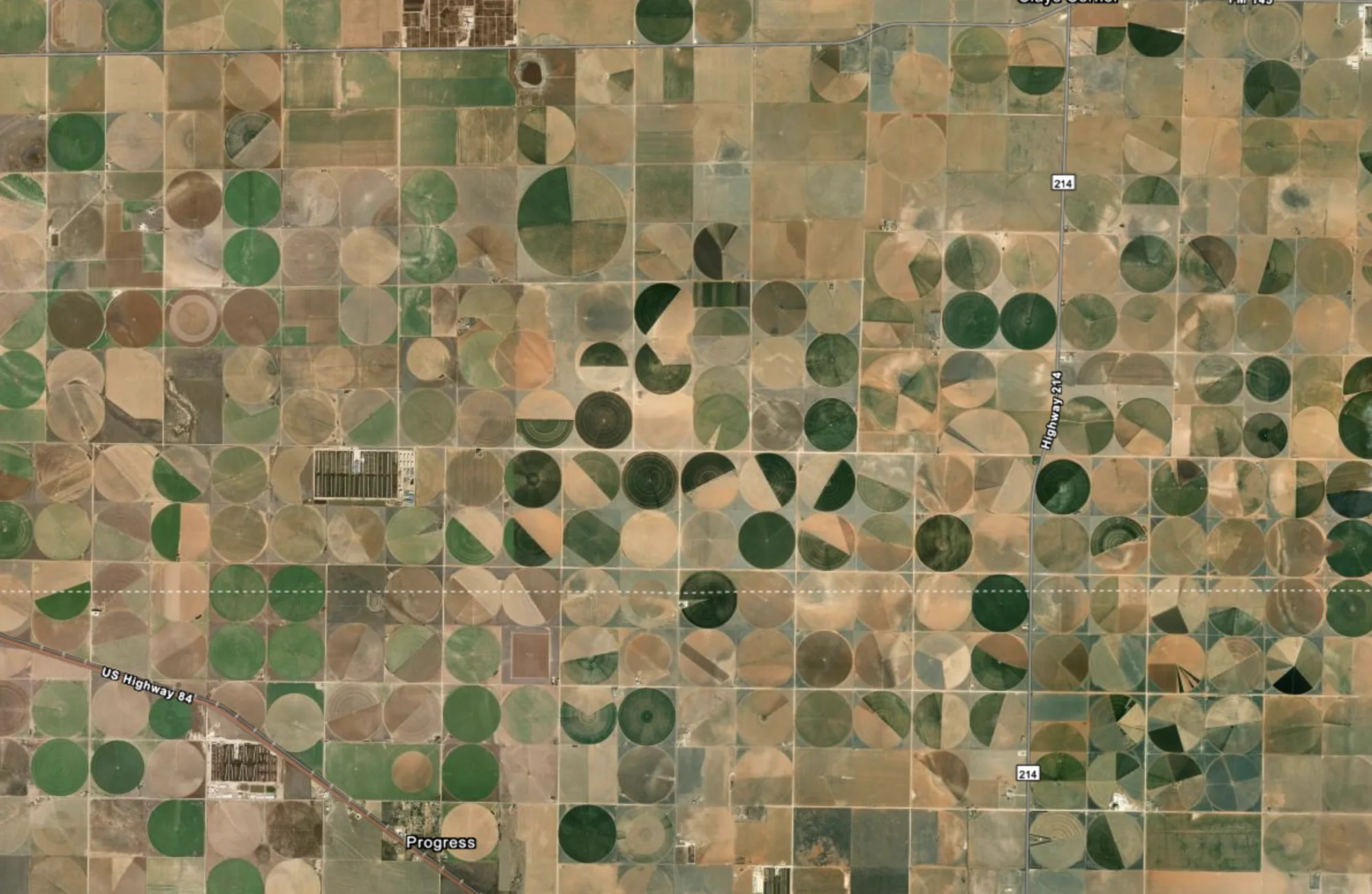
Search Earth
Center pivot farm
Signals in view
- Field condition
- Irrigation geometry
- Fallow fields
Where the search leads
Narrow an enormous search area to locations that merit closer inspection.